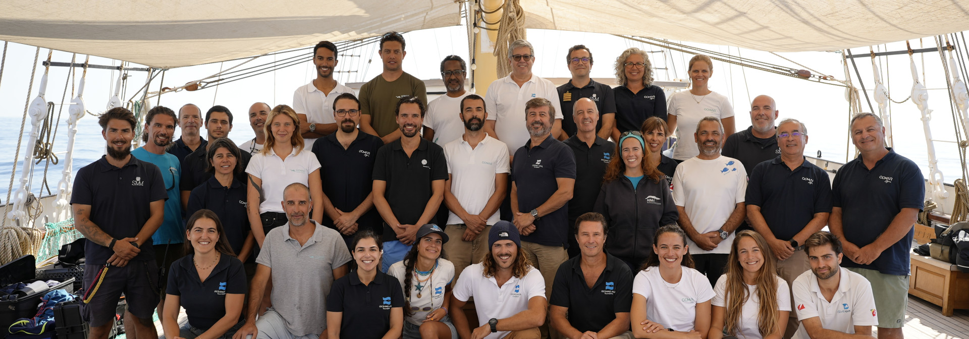
From 1 to 6 October, over 30 researchers from the Centre of Marine Sciences of the Algarve partnered with the Oceano Azul Foundation and the Oceanário de Lisboa to explore the Parque Natural Marinho do Recife do Algarve – Pedra do Valado (PNMRA-PV) aboard the Santa Maria Manuela ship. This marks the first multidisciplinary scientific survey conducted since the park's official establishment in January 2024.
Between Albufeira and the Alfanzina Lighthouse lies one of Portugal's largest coastal reefs, an ecosystem with over a thousand identified species — some rare, endangered and unique to mainland Portugal. Now officially designated a marine nature reserve, it is the first to be created in Portugal in the 21st century.
A unique ecosystem in Portugal facing significant human pressure
CCMAR has been working in this area for over 20 years. In 2008, it completed the first-ever mapping between Albufeira and Foz do Arade, which included Armação de Pêra Bay. The presence of a diverse coastal reef was swiftly verified, encompassing key habitats such as seagrass beds (Cymodocea nodosa), gorgonians (a species of soft coral) and calcareous algae beds (rhodoliths or maerl). These calcareous red algae grow by just a few millimetres each year and act as important natural carbon reservoirs, just like seagrass beds. These maerl beds are unique to this area of mainland Portugal, supporting enormous biological diversity and contributing to blue carbon sequestration, which is essential for reducing the concentration of carbon dioxide in the atmosphere.
Alongside this wealth, there is intense human activity, primarily from the tourism and fishing industries. It is one of the world's most visited marine protected areas, with around one million visits to the sea recorded in just four months in 2018 (with an upward trend), and it has the highest number of fishing licences (more than 200/150 km²).


The strength of the community
In this context, the only way to protect the Pedra do Valado Reef was to engage the community. In 2018, CCMAR, Oceano Azul Foundation, the Municipality of Silves, the Fishermen's Association of Armação de Pêra, and other partner organisations initiated a participatory process to establish the first protected area of community interest in Portugal. This process gained the backing of all regional public entities, including CCDR Algarve, ICNF/Algarve, DGPA, APA/Algarve, RTA, AMAL, the municipalities of Silves, Lagoa, and Albufeira, fishermen's associations, maritime tourism companies, universities, research centres, NGOs, and more. More than 80 entities joined forces in total, supported by three Ministers of the Environment and one Minister of the Sea, as well as the main parliamentary parties at the time (PS, PSD, CDU, and BE).


This process included a socio-ecological and economic study as a reference for future monitoring, with interviews with users in the area.
This resulted in the design of maps detailing priority habitat human activity, which were essential for proposing zoning with different levels of protection and compatibility of uses.
To this day, the park is one of the first marine protected areas in the world to have an integrated surveillance system, which is currently being installed. This system uses real-time GPS tracking of fishing vessels and video surveillance on land to allow all vessels to be tracked in real time, including at night, using infrared. It is also the first marine protected area in the country whose creation included a monetary compensation mechanism to fishermen, representing a pioneering model at an international level.
Six days of intensive research
However, the work must continue. The objective of this scientific campaign was clear: now that the marine area has been designated a Natural Park, it is crucial to evaluate its ecological condition and gather data to monitor the outcomes of the protection measures.
Over six days, CCMAR, with the support of the Oceano Azul Foundation, ICNF, SPEA and AIMM, mobilised technical equipment and specialists with many years of experience in the region. It used more than nine monitoring and mapping techniques, including 70 dives (more than 50 hours of immersion) and 200 launches to collect data: sediment and water samples, underwater recordings, among others. The team worked together to carry out one of the largest local scientific surveys in a short period of time.
Data analysis is still ongoing, but more than 40 new species have already been recorded for the Park area. For Jorge Gonçalves, scientific coordinator of CCMAR, ‘these records reinforce the ecological importance of Pedra do Valado and show that the Park continues to reveal surprises, even after years of study.’
A Portrait of the Future
This is the country's first marine protected area to be managed collaboratively with regional entities, based on a more advanced co-management model. The scientific campaign marks the first step towards the implementation of science-based management and active participation.

"The work we have carried out during this campaign supports existing scientific information and establishes a robust foundation for the forthcoming special programme and management regulations for the Park. This data will also be essential for evaluating the results of the programme's implementation in a few years' time."
Technology and Science Side-by-Side
In order to create a comprehensive and accurate '360°' view of the park, CCMAR employed the following techniques:
Every drop of water reveals 'invisible' biodiversity. Genetic filtering and sequencing can detect species that might otherwise escape direct observation, including those that are rare, discreet or nocturnal.


This technique consists of underwater cameras with bait to attract fish species, many of which are commercially valuable. The images can be used to estimate size and biomass, which are important indicators of protection. The larger the average size of a species, the greater the area's ecological recovery tends to be.


These techniques enable the collection of sediments and small macroinvertebrates, which serve as excellent ecological indicators due to their residency and sensitivity to environmental changes.
The methodologies were applied at depths between 30 and 50 metres to reinforce the seabed biodiversity inventory (benthos).


The work was carried out by teams from CCMAR, SPEA (Portuguese Society for the Study of Birds) and AIMM (Association for Marine Environmental Research) using 300-metre transects.
The researchers dedicated themselves to recording the sightings and behaviour of these species throughout the protected area. They placed particular emphasis on the appearance of Risso's dolphins (Grampus griseus).


Direct and indirect (by transmission) observation was used to monitor priority habitats, collect data and replace acoustic telemetry receivers. The latter technique enables us to identify the presence of highly mobile tagged species, such as snappers, sea bass, sea bream and rays.

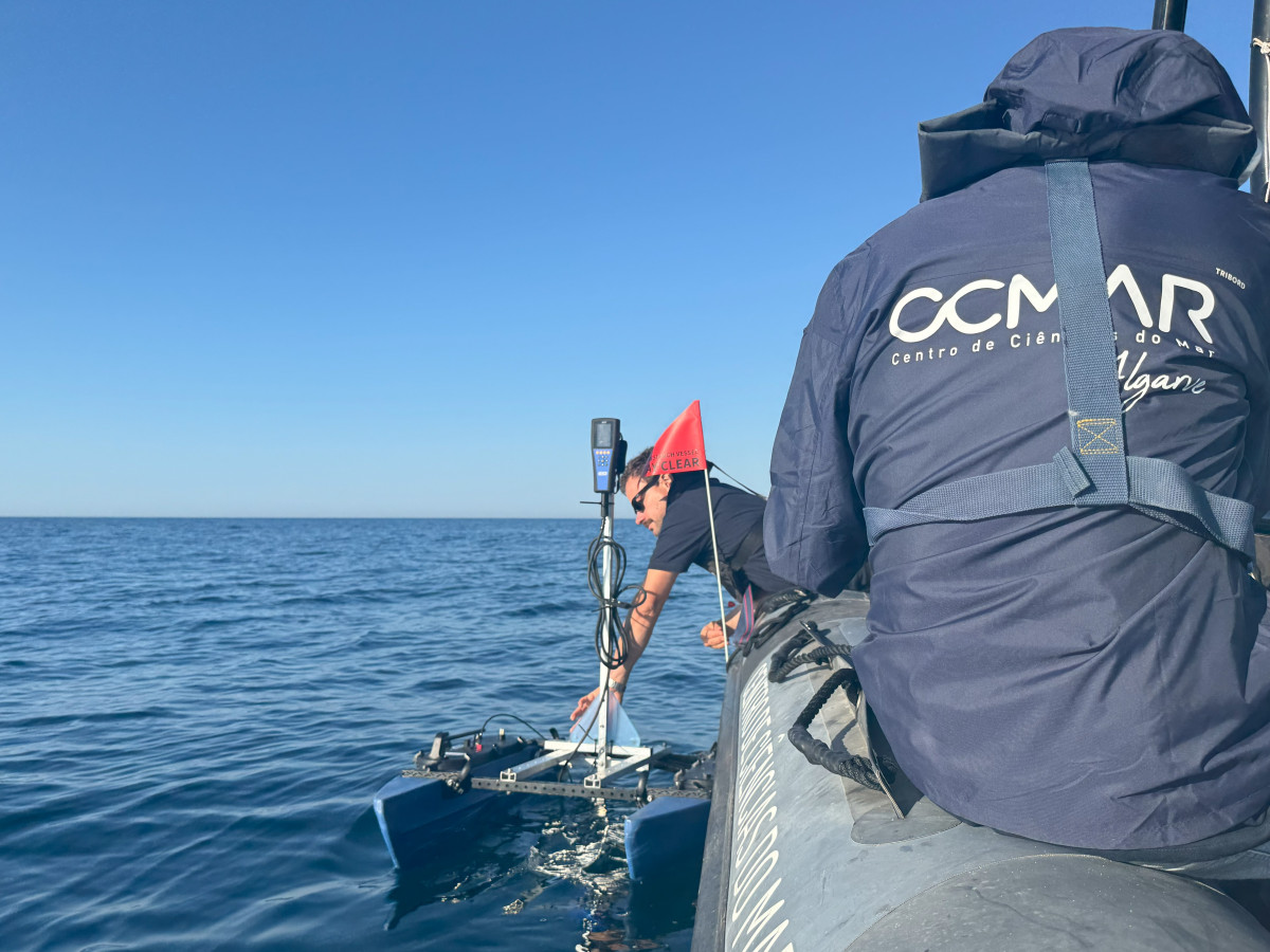
The vehicle measured parameters such as oxygen levels, pH levels, temperature, conductivity, total dissolved solids, chlorophyll levels and phycoerythrin levels, as well as salinity, in real time, and over a distance of six kilometres. This created the first oceanographic map of the total protection zone of the park.
Video Highlight
More information:
- Summary documents relating to the creation of the Marine Protected Area of Community Interest (AMPIC)
- Scientific article published: Co-design of a Marine Protected Area Zoning and Lessons Learned
- Council of Ministers' Resolution No. 1/2024 of 5 January concerning the establishment of the Algarve Reef Marine Nature Park


